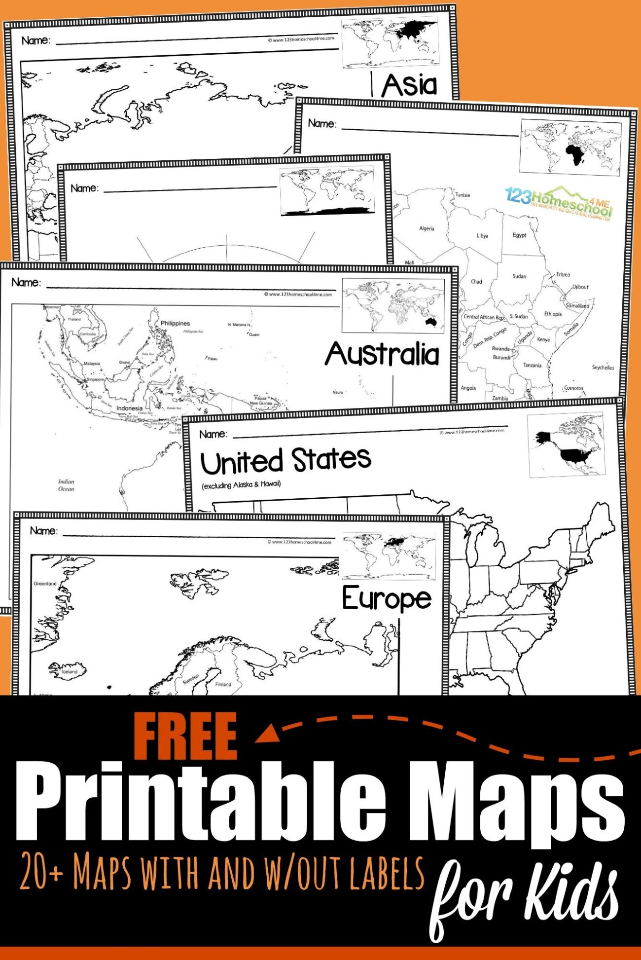
Blank maps for students to fill in are excellent educational tools that can enhance learning and engagement in geography. These resources not only help students grasp geographical concepts but also foster creativity and critical thinking as they personalize their maps. In this article, we’ll explore the various types of blank maps available, their uses, and tips for effectively utilizing them in educational settings.
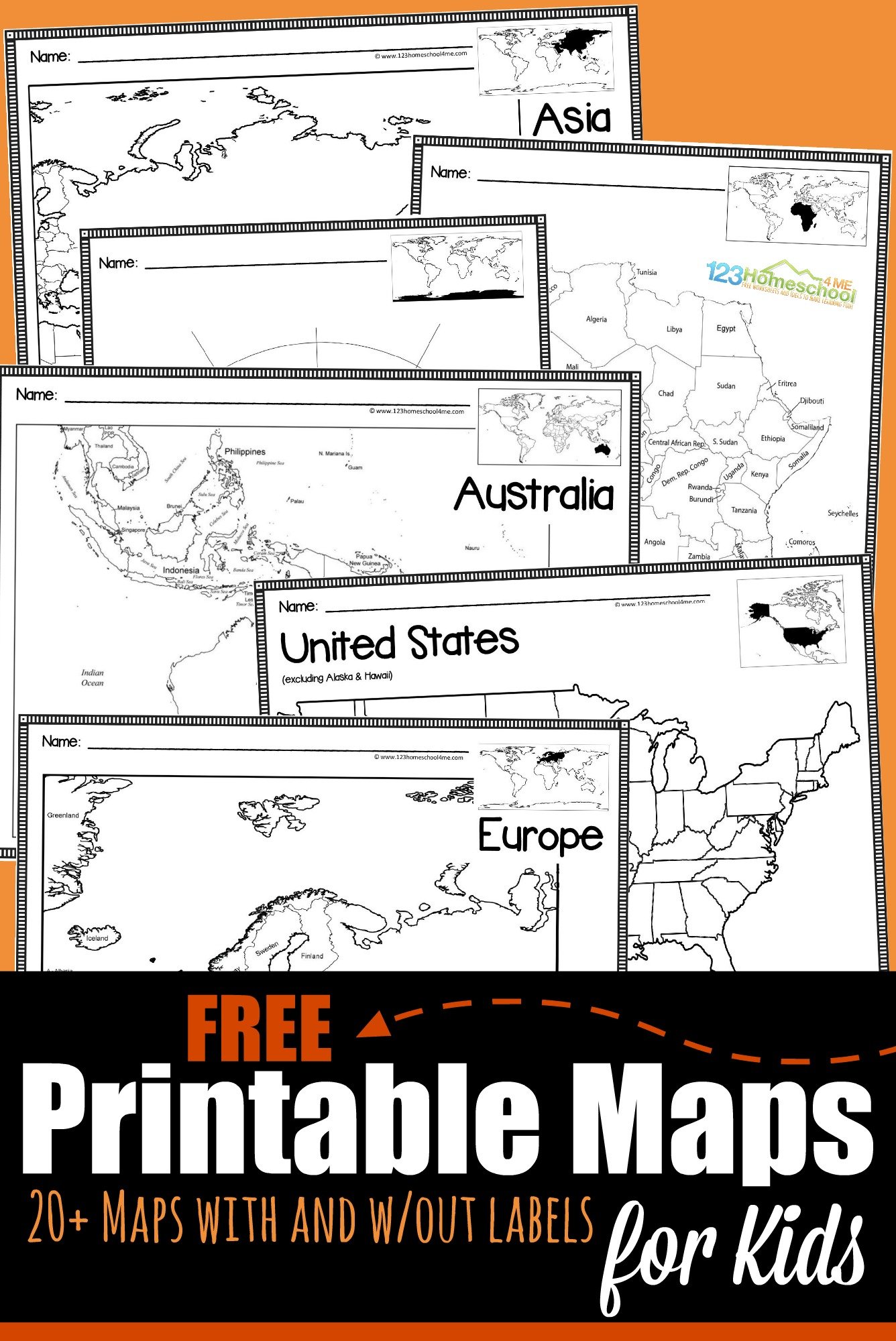
Types of Blank Maps for Students
When searching for blank maps, you’ll find a range of options suitable for different educational levels and subjects. Here are some common types:
- World Maps: These provide an overview of the continents, oceans, and countries. Students can label countries, capitals, and geographical features.
- Country Maps: More detailed than world maps, these focus on specific countries, allowing students to learn about states or provinces within those nations.
- Regional Maps: These maps highlight specific regions, such as the Great Lakes or the Amazon River Basin, enabling in-depth study of smaller areas.
- Historical Maps: Ideal for history lessons, these maps can illustrate changes in borders over time or significant events.
- Physical Maps: These focus on natural features such as mountains, rivers, and lakes, helping students understand physical geography.
Using Blank Maps in the Classroom
Incorporating blank maps into lesson plans can significantly enhance student engagement. Here are some practical ways to use these resources:
Geography Lessons
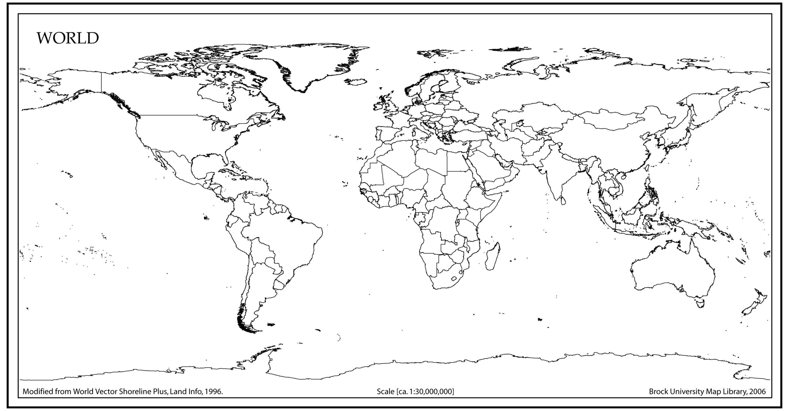
Blank maps are perfect for geography lessons. You can assign students to label continents, countries, and major cities. This hands-on approach reinforces memory retention and helps students visualize the information.
Group Activities
Group projects centered around blank maps encourage collaboration. For instance, students can work together to create a large, detailed map of a specific region, incorporating historical or cultural information. This not only fosters teamwork but also allows for creative expression.
Homework Assignments
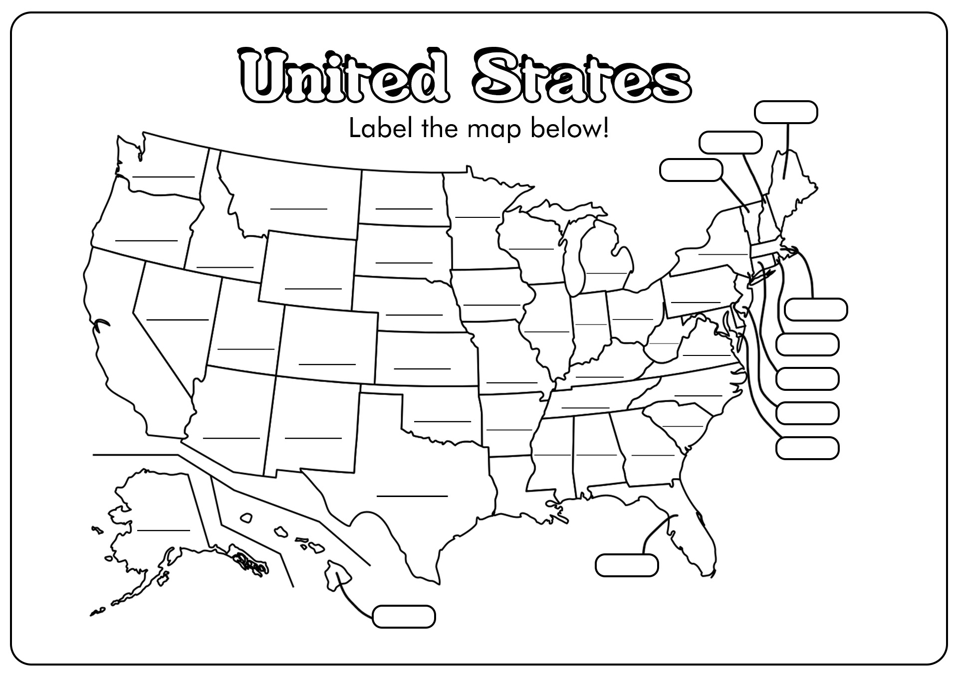
Blank maps can serve as homework assignments. For example, you might ask students to fill in a blank map of the United States, labeling each state and its capital. This reinforces classroom learning while allowing students to work independently at home.
Interactive Learning
Consider turning blank maps into interactive activities. Use digital versions that students can fill in on tablets or computers, or provide physical maps that they can decorate with stickers or colored pencils. This approach makes learning more engaging and fun.
Downloading and Printing Blank Maps
Finding the right blank map is just the beginning. Here’s how to download and print them effectively:
Where to Find Blank Maps
Numerous websites offer free and paid printable blank maps. Educational resources platforms often have a variety of options categorized by subject and grade level. Look for sites that provide high-quality PDFs to ensure clarity when printed.
Choosing the Right Format
When downloading blank maps, PDFs are usually the best choice. PDFs maintain their formatting across different devices and are less likely to have resolution issues. Image files can sometimes lose quality when printed, so opt for PDFs when available.
Paper Recommendations
For printing, consider using heavier paper like cardstock, especially if the maps will be colored or laminated afterward. Standard printer paper works well for regular use, but cardstock holds up better over time.
Print Settings
Adjust your printer settings for the best results. If your map has a lot of detail, select a higher quality print setting. Portrait orientation is typically effective for most home printers, but check your map’s layout for the best fit.
Enhancing Learning With Creative Additions
Blank maps can be more than just worksheets; they can also be a platform for various creative projects. Here are some ideas to expand their use:
Art Projects
Encourage students to personalize their maps with artistic elements. They can use colored pencils, markers, or paint to decorate their maps. This not only reinforces the material but also allows for creative expression.
Research Projects
Students can accompany their maps with research assignments. For example, after filling in a blank map of a country, they can write a report on its culture, history, or geography. This combination of map work and research deepens understanding.
Storytelling
Blank maps can serve as a backdrop for storytelling. Students can create stories set in the locations they’ve mapped, integrating their geographical knowledge with creative writing.
