Using a 50 State Blank Map Quiz can be a powerful tool in your homeschooling toolkit, especially when it comes to teaching geography in a hands-on way. This resource provides a blank outline of the United States, allowing your kids to fill in the states as they learn about them. It’s not only an engaging activity but also a practical way to reinforce their knowledge of U.S. geography.
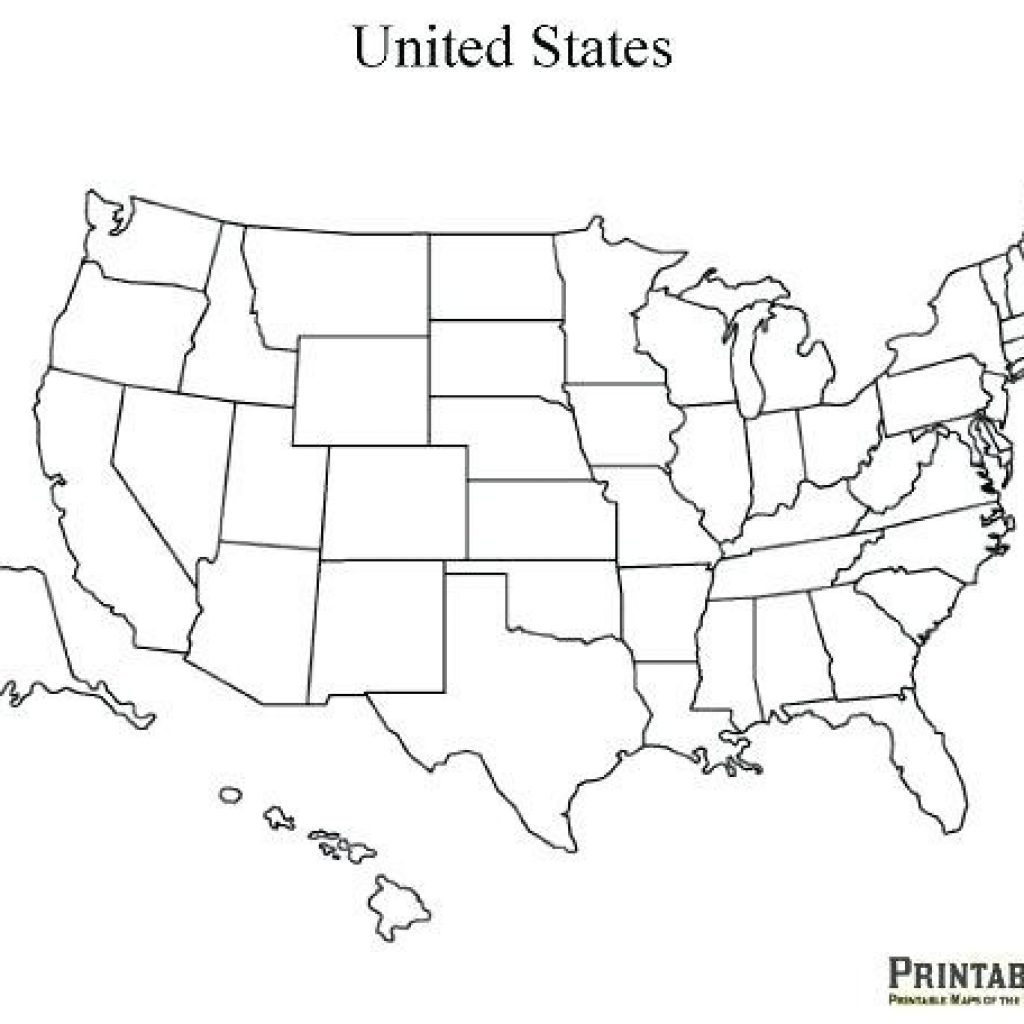
What is a 50 State Blank Map Quiz?
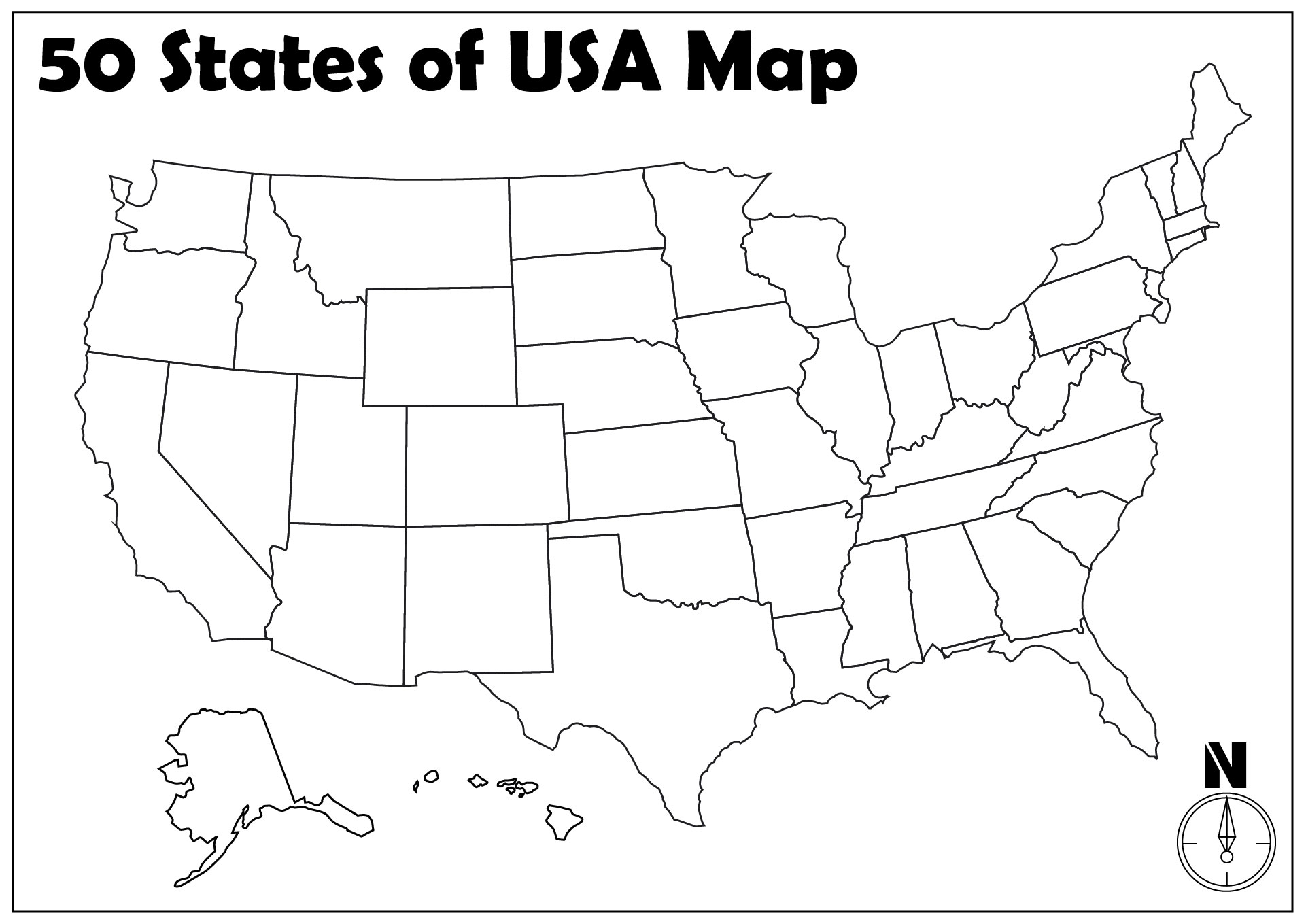
A 50 State Blank Map Quiz is exactly what it sounds like—a blank map of the United States with all the states outlined but not labeled. It’s designed for students to practice identifying states by name and location. This type of quiz is perfect for various age groups, especially elementary and middle school students who are just starting to learn about the geography of the U.S.
You can find these maps in various formats, typically downloadable as PDFs, which are easy to print at home. This makes it a convenient option for busy homeschool families. The simplicity of the blank map allows for a variety of teaching methods, whether you want to make it a fun quiz, a group activity, or an individual assignment.
How to Use the 50 State Blank Map Quiz
When it comes to using the 50 State Blank Map Quiz effectively, there are several approaches you can take:
- Individual Study: Give each child their own blank map to fill out. They can use resources like textbooks or online maps to help them learn the states.
- Group Activity: Work as a group to fill in a large blank map displayed on a wall or whiteboard. This can encourage teamwork and discussion about different states and their characteristics.
- Interactive Games: Turn the quiz into a game by timing how quickly they can fill out the map correctly or by having them identify states based on clues you provide.
By incorporating different methods, you can cater to various learning styles and keep the activity engaging.
Tips for Downloading and Printing
When you’re ready to download your 50 State Blank Map Quiz, here are a few tips to ensure the best results:
- Choose the Right Format: Look for a PDF version of the map. PDFs maintain their formatting better when printed, avoiding any reformatting issues that image files can sometimes have.
- Paper Size: Most printable maps are designed for standard letter-sized paper (8.5 x 11 inches). Make sure your printer settings reflect this to prevent any cropping of the map.
- Use Quality Paper: Depending on how you plan to use the maps, consider printing on cardstock. It’s more durable and holds up better if you plan to laminate the maps for repeated use.
- Print Settings: Check your printer settings before printing. Selecting “portrait” layout typically works best for maps. Also, ensure that the print quality is set to high for clearer outlines.
- Consider Lamination: If you want to reuse the blank maps, lamination is a great option. Kids can use dry-erase markers to fill in the states, making it easy to wipe clean for future use.
Engaging Activities With the Blank Map
Once your children have completed their maps, there are several activities you can incorporate to deepen their understanding and make learning fun:
- State Facts: After filling in the states, have each child research and present interesting facts about a state of their choice. This will enhance their learning and make the activity more interactive.
- Geography Games: Create games like “Where’s That State?” where you randomly call out a state, and the kids have to point it out on their maps as quickly as possible.
- Art Projects: Encourage creativity by having them color in their maps or decorate them with images representing each state, like state birds or flowers.
- Travel Planning: Use the completed maps to discuss travel routes for future family vacations. This can help them relate geography to real-life experiences.
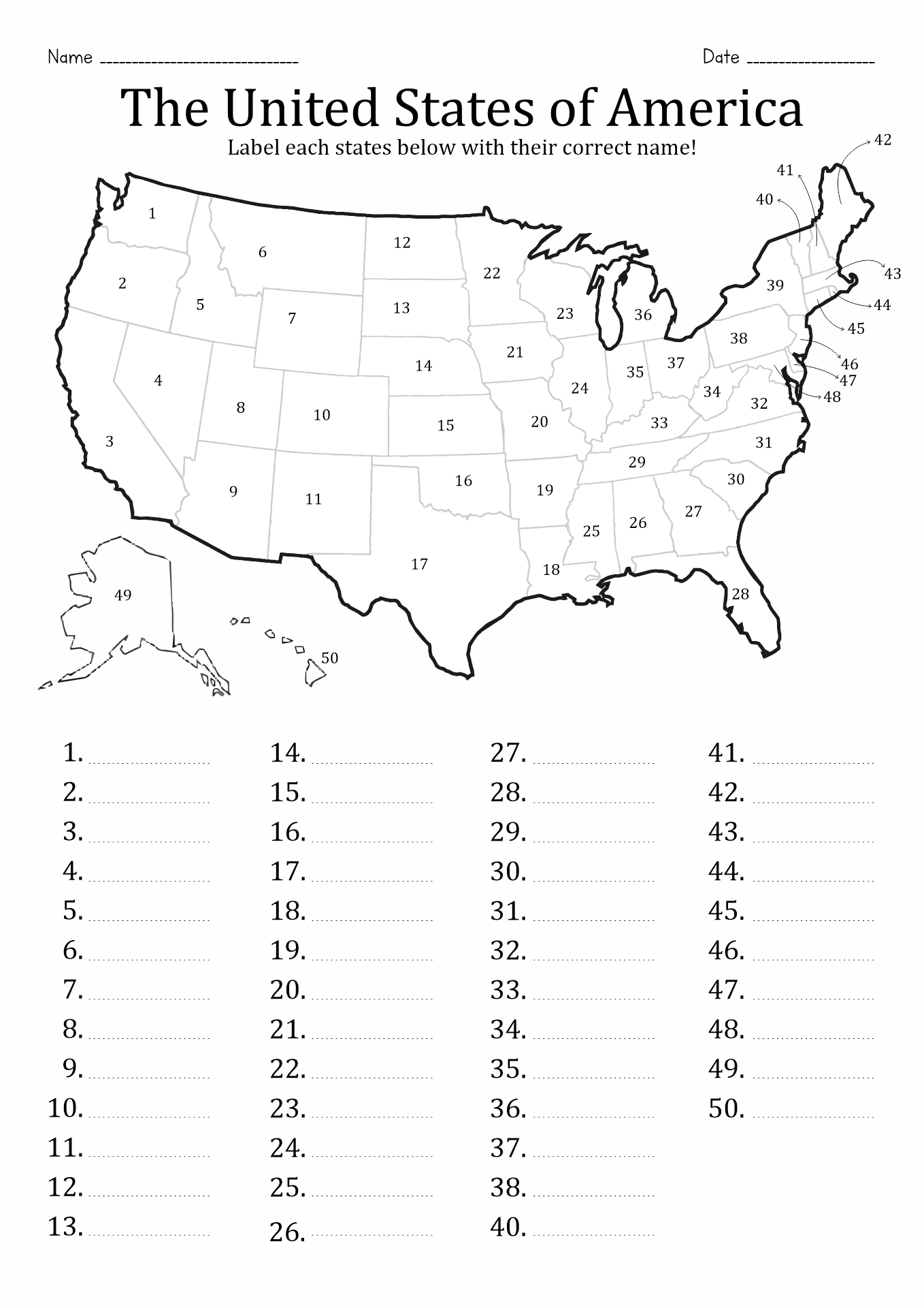
Where to Find a 50 State Blank Map Quiz
Finding a quality 50 State Blank Map Quiz is straightforward. Many educational websites offer free downloadable resources that cater to homeschool families. Websites dedicated to printable resources often have a variety of formats and styles, so you can choose the one that fits your family’s needs best.
Make sure to check user reviews or previews if available, to ensure the quality and usability of the resource. Many of these sites also provide additional resources, such as answer keys or supplementary worksheets, which can enhance the learning experience.
By using a 50 State Blank Map Quiz, you can turn geography lessons into an enjoyable and interactive experience for your homeschoolers. With these maps, you’re not only teaching them about the states but also encouraging them to explore and engage with their learning environment. It’s a practical resource that offers endless opportunities for creativity and exploration.
