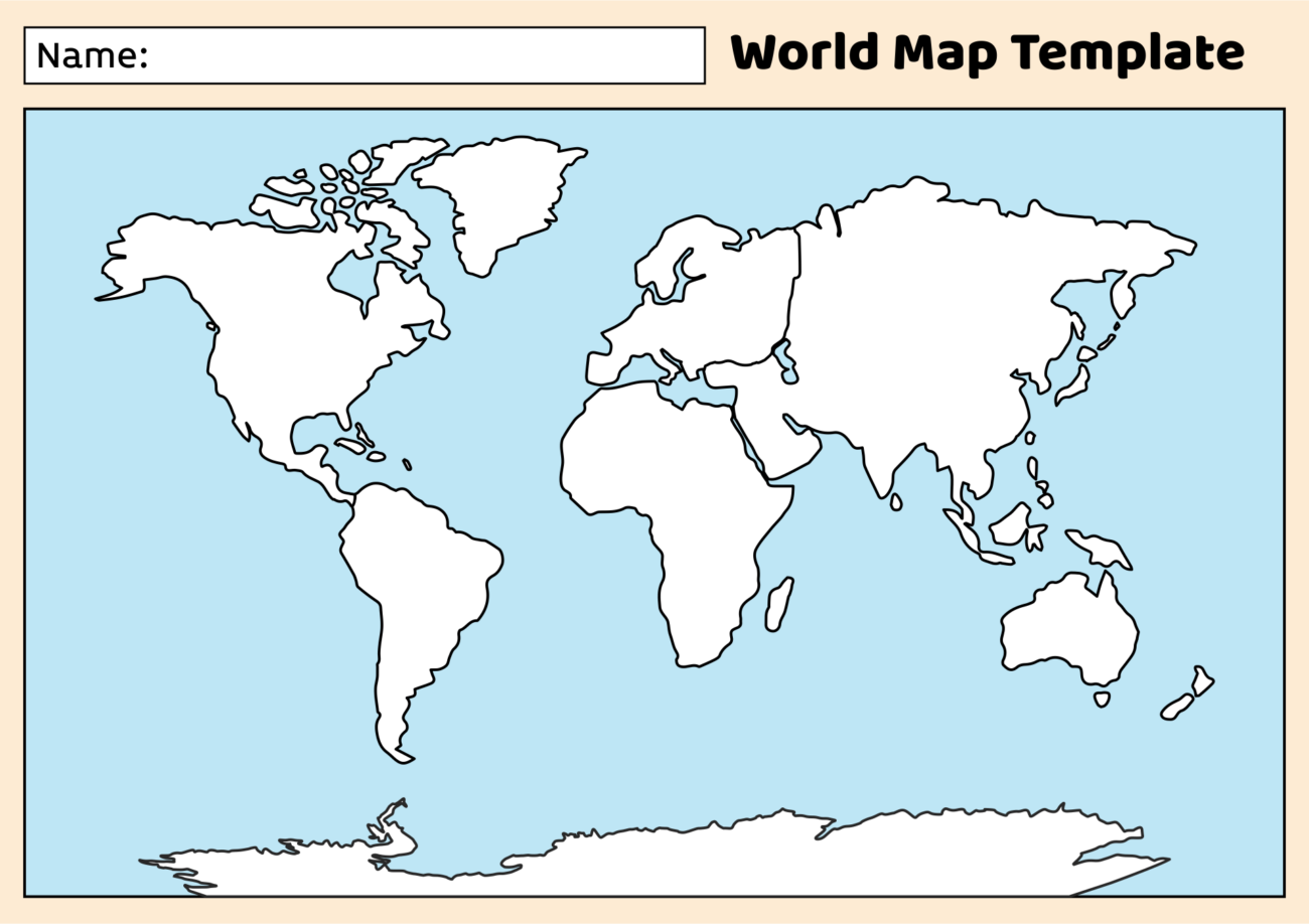
Using blank world maps for students to label is a fantastic way to engage learners in geography. If you are a teacher looking for resources or a parent helping your child with homework, these maps can serve multiple educational purposes. They encourage critical thinking, spatial awareness, and a deeper understanding of world geography. In this article, I’ll guide you through the various options available, how to use them effectively, and practical tips for printing and organizing your resources.
Types of Blank World Maps Available
When searching for blank world maps, you’ll find several options suited for different educational levels and purposes. Here are some common types:
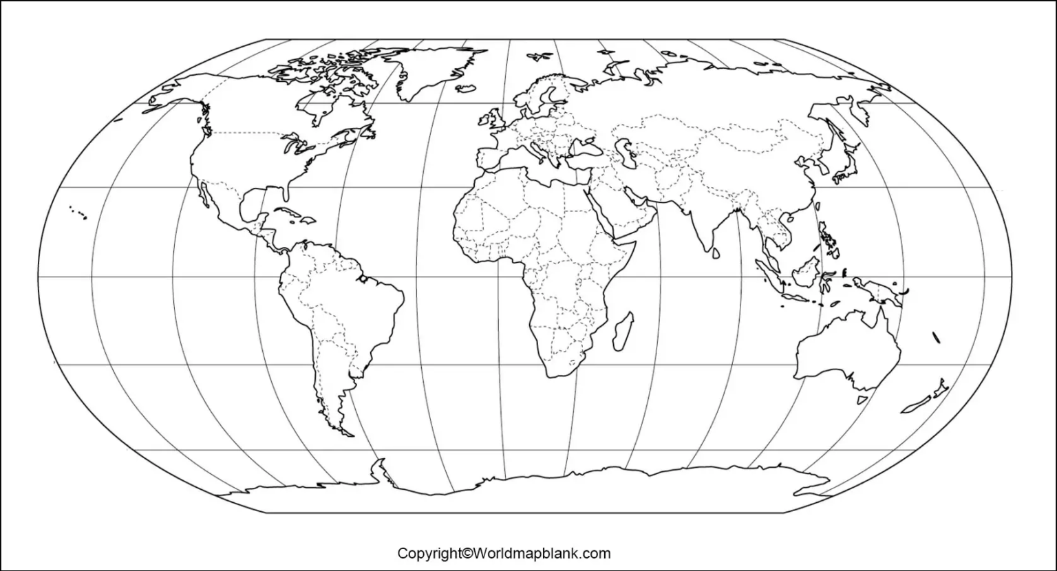
- Political Maps: These maps outline country borders, capitals, and major cities. They are perfect for students learning about political geography.
- Physical Maps: These maps focus on natural features like mountains, rivers, and lakes. They help students understand the physical landscape of different regions.
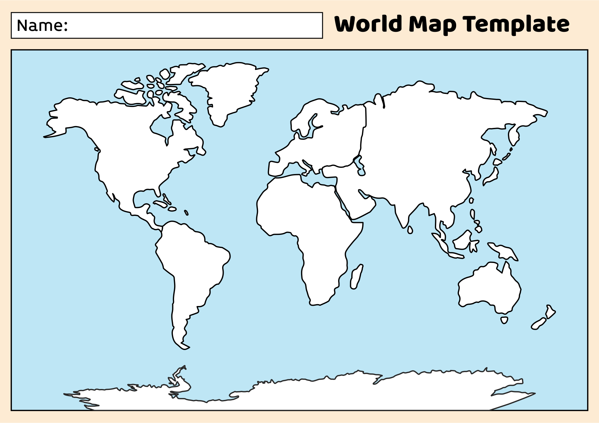
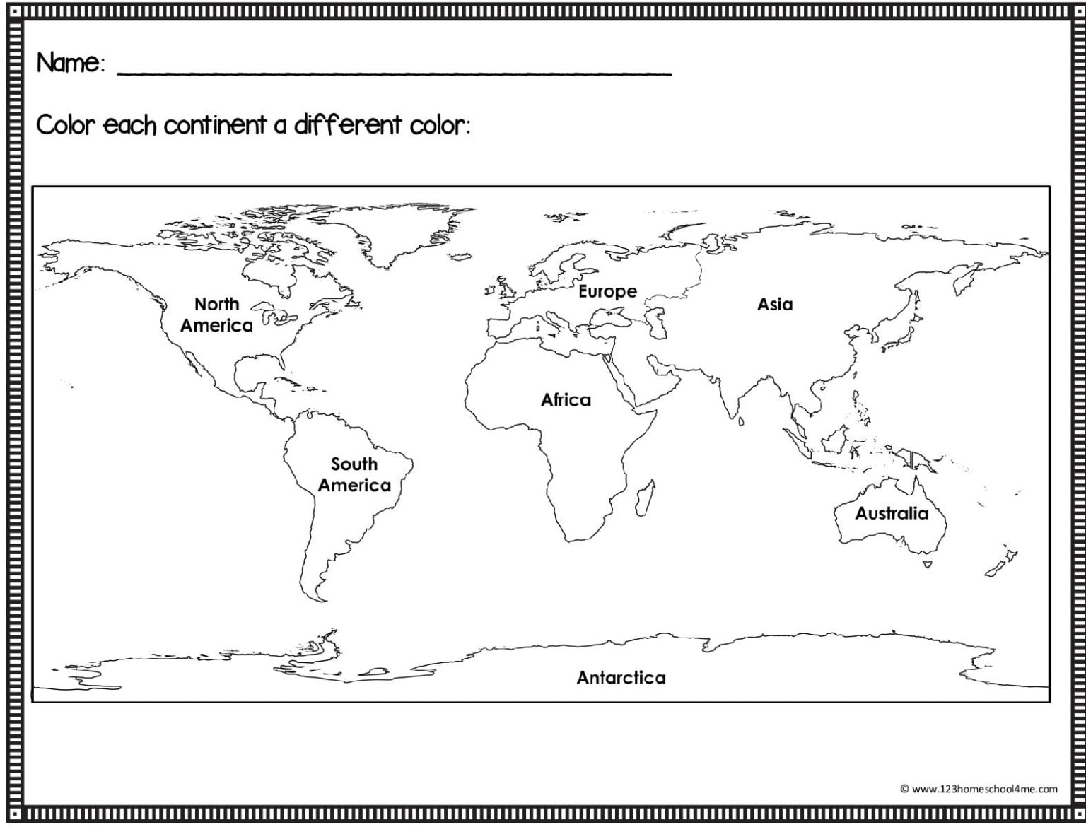
- Blank Contour Maps: These maps provide a basic outline of the continents and countries without labels, allowing students to fill in as they learn.
- Thematic Maps: These maps focus on specific themes, such as climate or population density, offering a different perspective on geographical data.
Depending on the grade level and curriculum, you may want to choose specific types that align with your students’ learning objectives.
Printing Options for Blank World Maps
Once you’ve selected the appropriate blank world maps for students to label, the next step is printing. Here are some practical considerations:
- Paper Size: Standard printer paper (8.5 x 11 inches) is commonly used, but you might also want to consider larger formats like A3 or 11 x 17 inches for classroom activities. Larger maps allow for more detailed labeling and can accommodate groups of students working together.
- Material: If you intend for the maps to be reused, consider printing on cardstock. Cardstock is more durable and can withstand repeated handling. For added longevity, you might laminate the maps. This allows students to write on them with dry-erase markers, making them reusable.
- Color vs. Black and White: Color maps can be visually engaging and help students differentiate between countries and regions more easily. However, black and white maps can be more economical and allow students to use colored pencils or markers to add their own color coding.
Organizing and Using Blank World Maps in the Classroom
Incorporating blank world maps into your teaching routine can be straightforward and effective. Here are some tips on how to organize and utilize these resources effectively:
- Create a Geography Station: Set up a dedicated area in your classroom where students can access blank world maps, colored pencils, and reference books. This encourages independent learning and exploration.
- Group Activities: Divide the class into small groups and assign each group a specific continent or region to research. They can label their maps with important geographical features, capitals, and even cultural landmarks. This collaborative effort fosters teamwork and critical thinking.
- Homework Assignments: Send blank world maps home with students, asking them to label countries, capitals, and major cities. This can reinforce what they’ve learned in class and provide a fun way for parents to get involved.
- Assessment Tools: Use the maps as a formative assessment tool. You can ask students to label countries or features based on what they’ve learned during a unit on geography. This will give you insight into their understanding and retention of the material.
- Interactive Learning: Incorporate technology by using online mapping tools alongside printed maps. This can enhance the learning experience, allowing students to compare digital maps with their labeled versions.
Tips for Effective Use of Blank World Maps
To maximize the benefits of blank world maps for students to label, consider these practical tips:
- Provide Clear Instructions: When distributing maps, ensure that students understand what is expected of them. Clear instructions will help them focus on the learning objectives.
- Encourage Creativity: Allow students to personalize their maps. They can add symbols, color-code countries, or include facts about each location. This fosters a sense of ownership and engagement with the material.
- Incorporate Different Learning Styles: Not all students learn the same way. Some may benefit from visual aids, while others might prefer hands-on activities. Use the maps in various ways to cater to different learning preferences.
By integrating blank world maps into your educational toolkit, you can enhance your students’ understanding of geography in a fun and engaging way. These resources not only serve as a teaching aid but also empower students to take charge of their learning.
For immediate action, consider downloading a set of blank world maps today. You can find them in various formats online, ensuring that you have access to the right type for your needs. This simple step can significantly enrich your educational approach and make geography exciting for your students.
